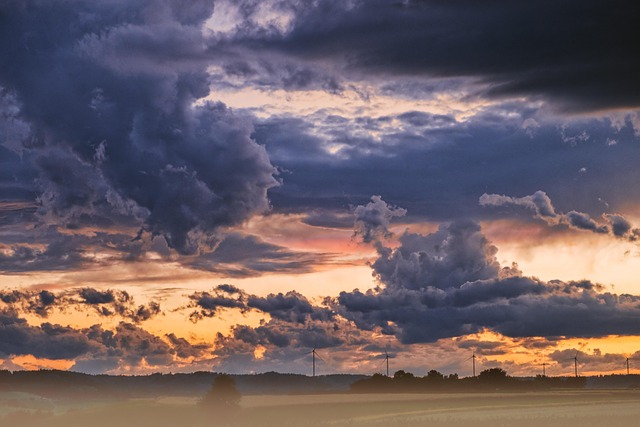
Weather systems are primarily driven by the interaction of air masses—large bodies of air with uniform temperature and humidity. The boundary where two different air masses meet is called a front. Because air masses of different densities do not mix easily, one is usually forced upward, leading to the formation of clouds and precipitation.
🌪️ 1. The Four Main Types of Weather Fronts
Each front is characterized by the type of air mass that is advancing and the specific weather patterns it triggers.
A. Cold Front
A cold front occurs when a cold, dense air mass pushes into a warmer air mass. Because cold air is heavier, it wedges under the warm air, forcing it to rise rapidly.
- Weather: Often brings sudden, dramatic changes. Expect towering clouds (cumulonimbus), heavy rain, thunderstorms, and sometimes hail or tornadoes.
- Aftermath: Skies usually clear quickly, and temperatures drop significantly.
- Symbol: A blue line with triangles pointing in the direction of movement.
B. Warm Front
A warm front forms when a warm air mass moves in to replace a retreating cold air mass. The warm air is less dense, so it slides up and over the cold air at a gentle slope.
- Weather: Clouds appear far in advance of the front (starting with high cirrus then lowering to stratus). It typically brings steady, light-to-moderate rain or snow that can last for days.
- Aftermath: The weather becomes warmer and more humid.
- Symbol: A red line with semicircles pointing in the direction of movement.
C. Stationary Front
This occurs when a cold and warm air mass meet, but neither is strong enough to move the other. The two air masses remain “stalled” in place.
- Weather: Similar to a warm front, it often brings cloudy skies and prolonged periods of light rain or snow. If it stays for too long, it can lead to flooding.
- Symbol: A line with alternating blue triangles on one side and red semicircles on the other.
D. Occluded Front
An occluded front happens when a fast-moving cold front catches up to a slow-moving warm front, essentially “trapping” the warm air mass and lifting it completely off the ground.
- Weather: Complex and variable. It can produce a mix of thunderstorms (like a cold front) and steady rain (like a warm front).
- Symbol: A purple line with alternating triangles and semicircles on the same side.
📊 Comparison of Frontal Characteristics
| Feature | Cold Front | Warm Front | Stationary Front |
| Speed | Fast (Up to 30-50 km/h) | Slow | Non-moving/Very slow |
| Slope | Steep | Gentle | Gentle |
| Cloud Types | Cumulonimbus | Cirrus, Altostratus, Stratus | Stratus |
| Precipitation | Intense, short bursts | Light to moderate, steady | Persistent, light |
| Pressure Change | Falls then rises sharply | Falls steadily | Low, constant |
🌍 2. How Air Masses Define the System
Air masses take on the characteristics of the “source region” they form over. Meteorologists use a two-letter code to classify them:
- Moisture (First Letter):
m(maritime/moist) orc(continental/dry). - Temperature (Second Letter):
T(tropical/warm),P(polar/cold), orA(arctic/extreme cold).